Moshi, Tanzania
-
 +255 742 596 234
  generoustours43@gmail.com





 Moshi, Tanzania +255 742 596 234 generoustours43@gmail.com
Track your high-altitude adventure in real-time with our Live Route Progress Map and Photo Updates. Monitor climbers’ positions, follow the trekking route, and enjoy daily photos from the mountain for a safer and more engaging climbing experience.
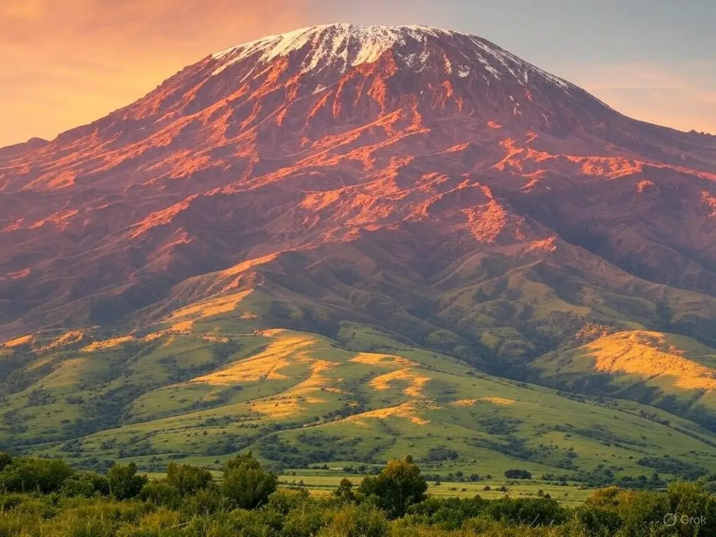
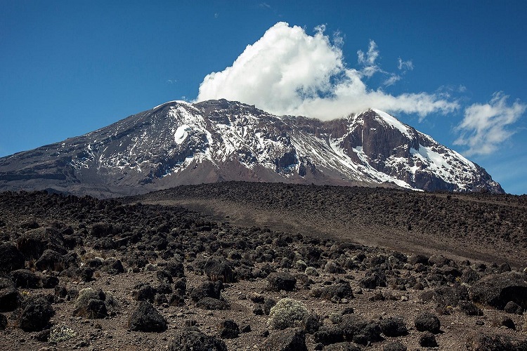
Our Live Route Progress Map and Photo Updates tool allows trekkers, guides, and supporters to follow the ascent of high-altitude mountains like Kilimanjaro in real-time. This feature provides a dynamic view of each climber’s current location along the trekking route, combined with live photo updates from campsites, trails, and the summit. It is designed to enhance safety, engagement, and transparency during multi-day climbs.
By integrating GPS tracking and periodic photo uploads, this tool ensures that climbers and their support teams can monitor progress, detect delays, and respond quickly to any emergencies. For friends and family back home, it provides a live connection to the adventure, allowing them to witness breathtaking landscapes, route conditions, and daily milestones along the climb. This tool is ideal for both professional trekking companies and individual climbers who value safety, documentation, and immersive experience. It also serves as a motivational platform, encouraging climbers to stay on schedule while celebrating daily achievements through photos and real-time location updates.Follow climbers in real-time with our interactive map and enjoy live photo updates throughout the trek. Monitor safety, progress, and route conditions with ease.
The map displays climbers’ current GPS positions along the trekking route. Each marker shows:
Live Map Loading...
Temperature at 4,500 m: -2°C | Winds: 15 km/h | Visibility: Clear
Trail Conditions: Snow on upper slopes, moderate mud on lower trail
Get real-time visual updates from the trek with photos uploaded from campsites, trails, and the summit. Each photo includes:
Our Live Route Progress Map and Photo Updates tool ensures that climbers, guides, and supporters remain informed and engaged throughout the adventure. Experience the thrill of tracking the climb in real-time while staying safe and connected to the journey.
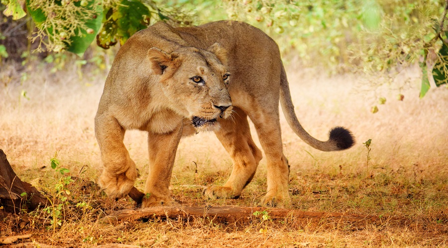
Serengeti National Park

Ngorongoro Crater
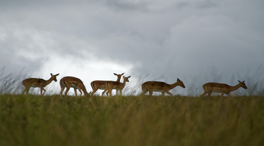
Lake Manyara
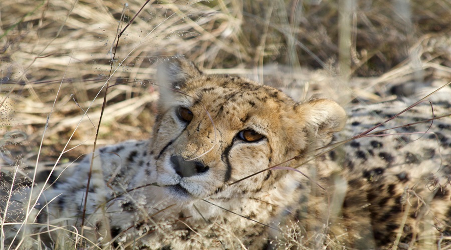
Tarangire National Park