Moshi, Tanzania
-
 +255 742 596 234
  generoustours43@gmail.com





 Moshi, Tanzania +255 742 596 234 generoustours43@gmail.com
Plan your high-altitude trek safely with our Altitude Safety & Acclimatization Planner. Monitor oxygen levels, track symptoms, and manage your ascent wisely. Optimize your climb to reduce the risk of altitude sickness. Stay safe, healthy, and enjoy every step of your journey.
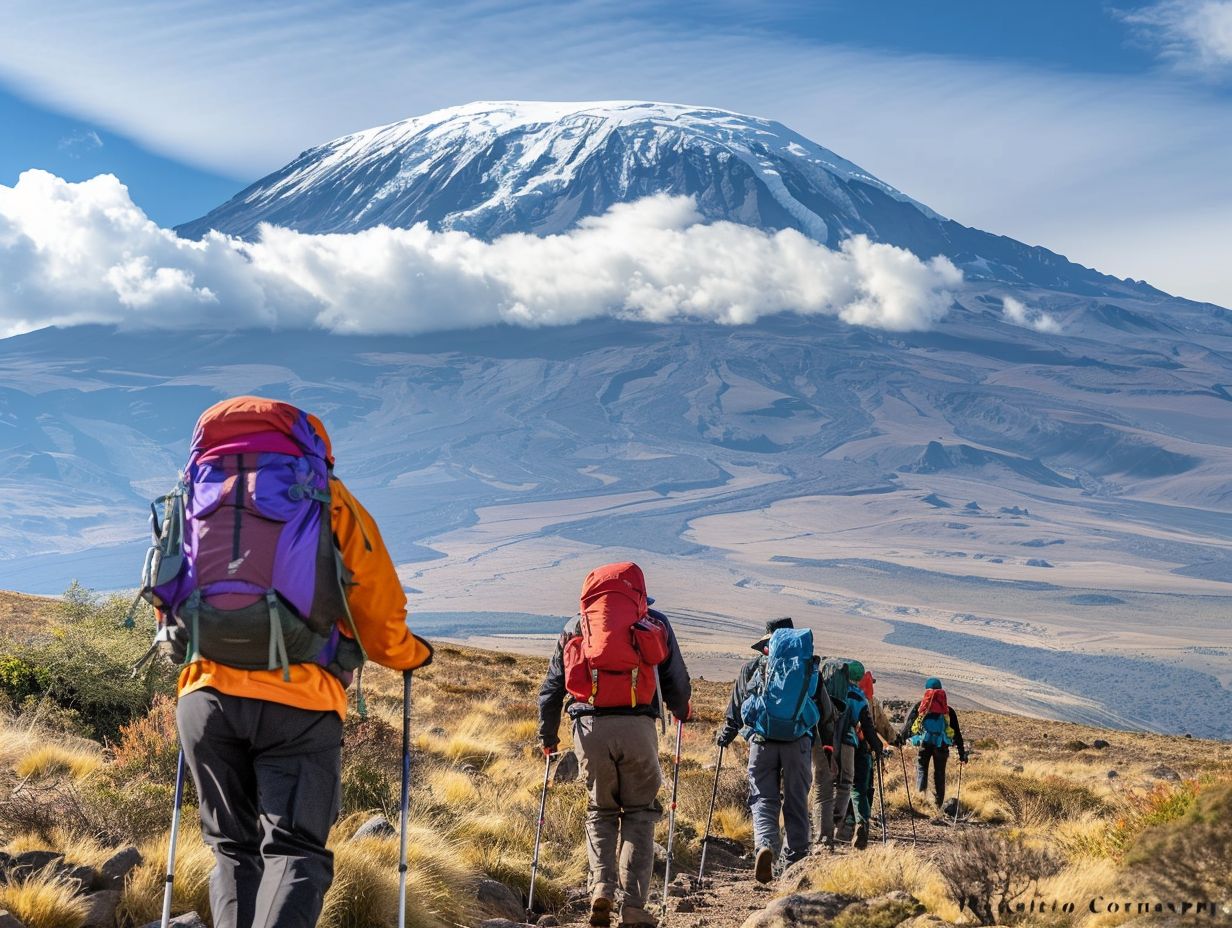
High-altitude trekking is thrilling but comes with significant risks, especially above 2,500 meters. Altitude sickness, dehydration, and fatigue can affect both health and summit success. Our Altitude Safety & Acclimatization Planner helps climbers and guides plan ascents carefully. It monitors vital health metrics and adjusts trekking strategies to minimize risks effectively.
The tool combines expert guidance with interactive tracking features, allowing daily logging of oxygen saturation (SpO₂), symptoms, and performance. It offers actionable advice on pacing, rest, and hydration to improve acclimatization. Whether you are a beginner or an experienced mountaineer, this planner empowers data-driven decisions. Trekkers can optimize safety and enhance the overall trekking experience. Proper acclimatization reduces the risk of acute mountain sickness (AMS) and ensures a safer climb. By tracking health metrics and environmental conditions daily, climbers can prevent altitude-related issues. The planner supports communication between trekkers and guides about risks and daily challenges. It’s especially useful for high-altitude routes like Kilimanjaro, Mount Kenya, and the Andes, helping climbers stay informed and focused on their summit goals.Plan your ascent safely, track vital metrics, and reduce risks of altitude sickness with this interactive tool.
| Date | SpO₂ (%) | Symptoms | Water Intake (L) | Rest Hours | Notes |
|---|---|---|---|---|---|
| 2025-10-06 | 93 | Mild | 2.0 | 8 | Headache, slow pace |
| 2025-10-07 | 91 | Moderate | 2.5 | 7 | Shortness of breath |
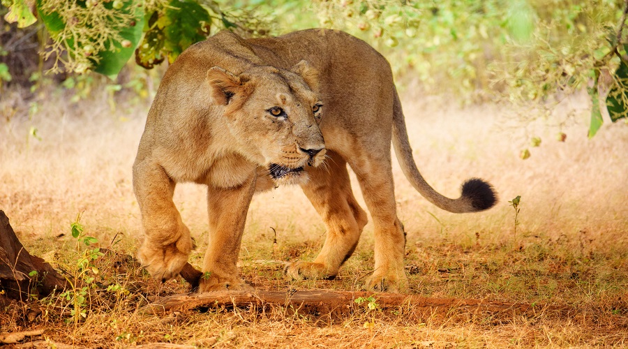
Serengeti National Park

Ngorongoro Crater
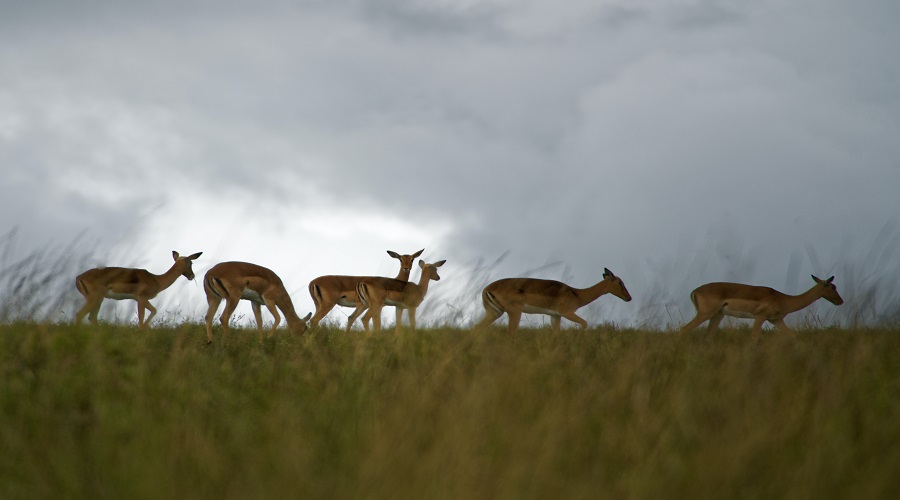
Lake Manyara
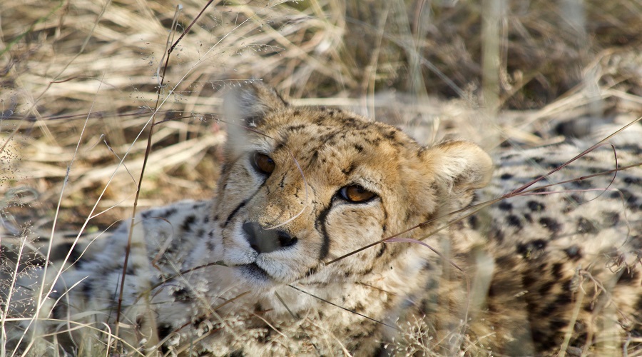
Tarangire National Park